Icefall Nunatak i Victoria Land Kjelder | Navigasjonsmeny72°28′S 166°8′E72°28′S...
Nunatakar i Victoria LandPennell Coast
nunatakMount WattBarker RangeVictoria LandNew Zealand Geological Survey
Koordinatar:
| Icefall Nunatak | |
| nunatak | |
| Land |  Antarktis Antarktis |
|---|---|
| Stad | Victoria Land |
| - koordinatar | |
| Administrert under | Antarktistraktaten |
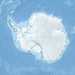  Icefall Nunatak i Victoria Land (Antarktis) | |
Icefall Nunatak er ein nunatak 1,5 km nord for Mount Watt i Barker Range i Victoria Land i Antarktis. Nunataken vart vitja i 1981–82 av Bradley Field, ein geolog i New Zealand Geological Survey, som foreslo namnet frå isfallet som fell ned på kvar side av nunataken.[1]
Kjelder |
↑ «Icefall Nunatak». Geographic Names Information System, U.S. Geological Survey. Henta 28. oktober 2012.
 Denne artikkelen inneheld stoff som er offentleg eige frå United States Geological Survey-artikkelen «Icefall Nunatak» (innhald frå Geographic Names Information System).


